Agrega un elemento
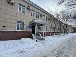
Çkalova street, 10
Çkalova street, 10, Karagandy
Coordenadas:
clipboard
Buscar en las cercanías
Indicaciones
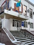
Медицинское училище
45 m
Negocios en el edificio
Information and Computing Center of the Bureau of National Statistics of the Agency for Strategic Planning and Reforms of the Republic of Kazakhstan, branch of the Karaganda region
Information and Computing Center of the Bureau of National Statistics of the Agency for Strategic Planning and Reforms of the Republic of Kazakhstan, branch of the Karaganda region
Abierto hasta 6:30 p. m.
